Really Stretching the Concept of News
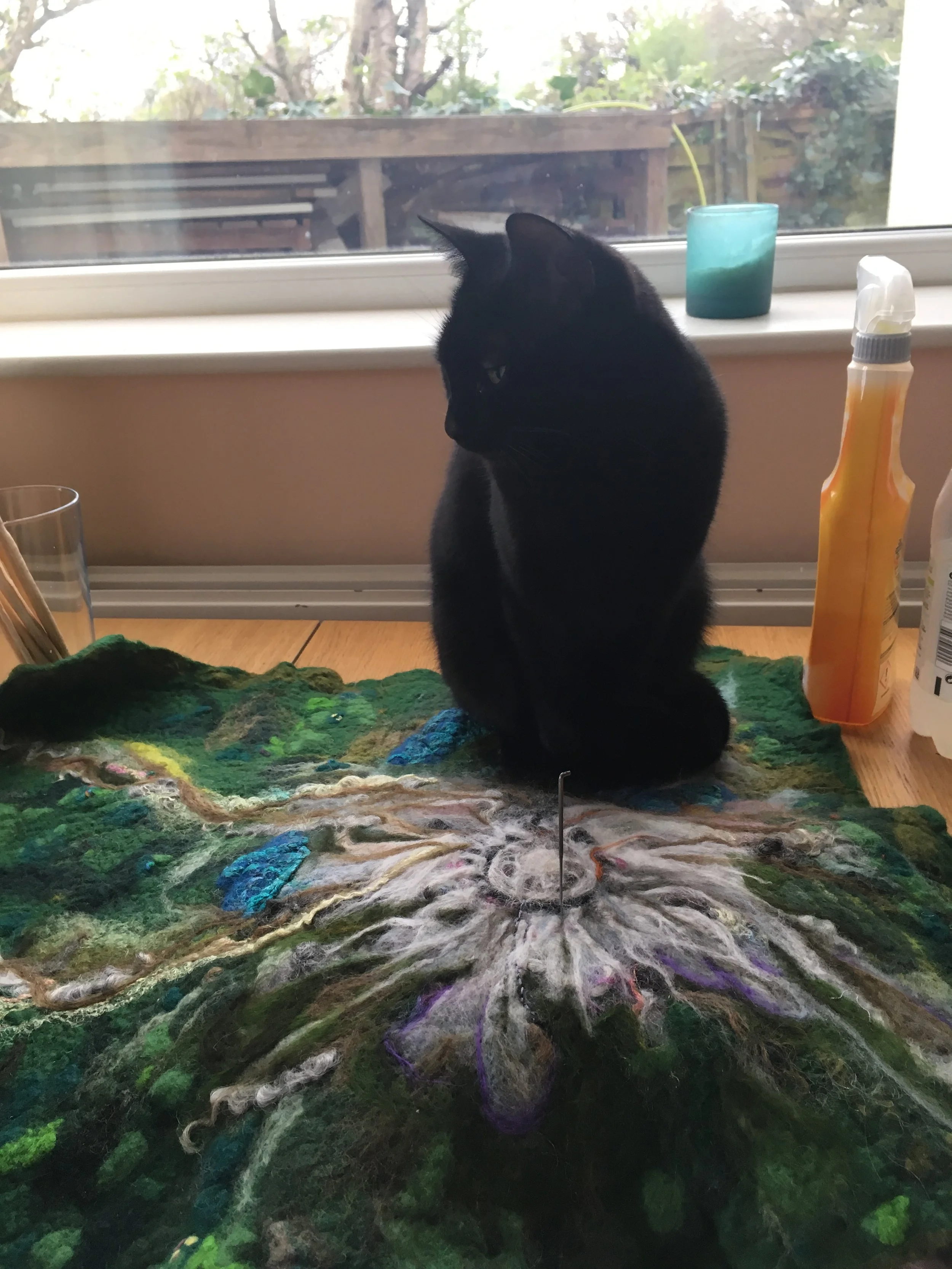
I’ve finally got round to uploading photographs for probably my favourite wet felt / dry felt project, this aerial view of Mt St Helens I made for the Geological Society’s Plate Tectonics Stories project in 2018. (The winning entry in the category for adults, yes, thank you, thank you…. <bows>)

A 600mm x 600mm felted square inspired by an aerial photograph of Mt St Helens, USA.
Submission Story
Archibald Geikie’s 1893 Text Book Of Geology (third edition) has a lot to say about the processes governing the volcanic mountain ranges and island chains that ring the Pacific Ocean. The upshot, though, is “well, there must BE a reason but we don’t really know” or, as Geikie puts it: “Many difficulties remain yet to be explained before our knowledge of volcanic action can be regarded as more than rudimentary.”
Geikie didn’t live to see the discovery of plate tectonics (and he wasn’t a fan of the general idea), which eventually made things a lot clearer. Take the Cascade Mountain Range, Washington State, USA, as an example. The oceanic Juan De Fuca plate subducts below the continental North American plate at this edge of the Pacific rim, resulting in friction and magma and, subsequently, in volcanoes – obvious for us now but a mystery prior to the mid 20thCentury.
Eighty seven years after Geikie’s doorstop textbook, sixty five years after Wegener’s theory of Continental Drift, fourteen years after Dan McKenzie’s paper on the mechanism of mantle convection, on a Sunday morning in May, 1980, Mount St Helens erupted. Sideways.

An old style iPad with the Google Earth image of Mt St Helens.
There have been bigger volcanic eruptions, though none in America in the last hundred years. There have even been more unexpected ones. Volcanologists and local authorities were prepared; thousands of people had been evacuated. The mountain was swelling on its north side and volcanologists considered it might erupt laterally. They had underestimated by how much. An earthquake was caused by the bulging magmatic intrusion which triggered a landslide; the whole side of the mountain shuddered, shimmered and fell away. Magma on the inside, suddenly encountering the outside, depressurised explosively. Water in the mountainside lake that wasn’t vapourised in the explosion flooded the valley below with mudslides. Fifty seven people died, including one of the scientists monitoring the mountain, 230 square miles of forest was blasted flat, rivers and roads and bridges and homes were destroyed.
The discovery a of plate tectonics made so many things make sense that hadn’t before - Geikie would have been thrilled once he’d got over himself - but that knowledge doesn’t fix everything. We can observe natural hazards from the air, and label things and write important scientific papers that advance our collective understanding and sometimes it still all goes wrong for us. We aren’t in control.

A pile of wool and felted patches, awaiting wetting and felting. It looks like a big fluffy heap.
Now, thirty eight years later, the forest is starting to recover. Animals are moving in, plants are growing. The local area rebuilt. The mountain remains a blast zone though, its top lopped off and a huge hole in its north side, a new lava dome forming in the crater. And the nature and behaviour of the Pacific North West subduction zone is still being explored. It’s dangerous, and beautiful and horrible and these days you can explore it in 3D on via online aerial photographs. This felted piece, made using wet and dry felting techniques, is loosely based on the 2018 aerial photograph of Mount St Helens.